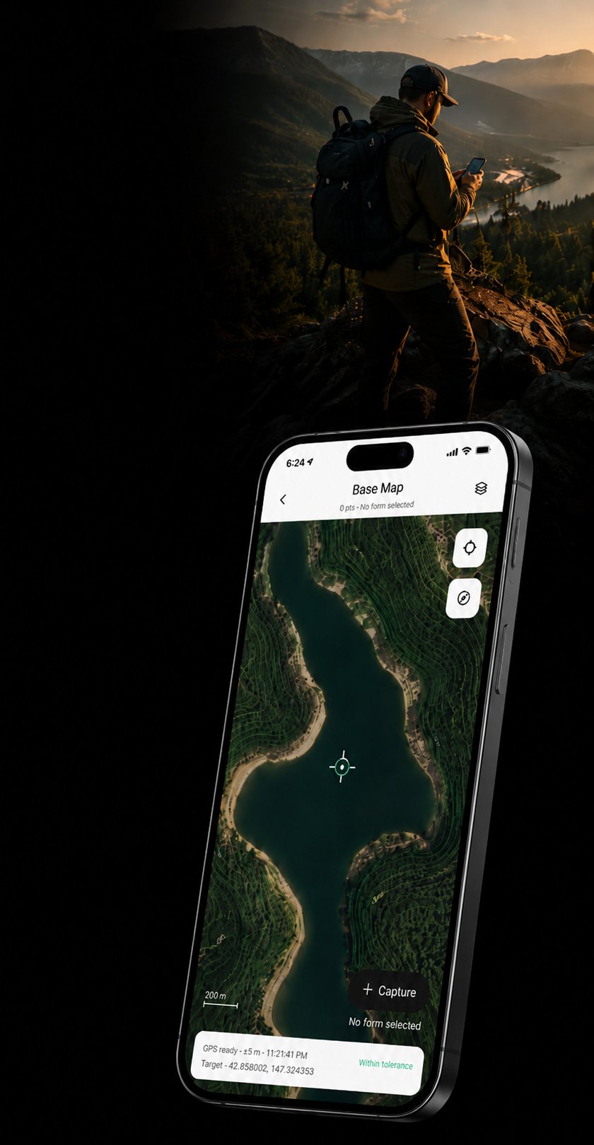
Capture structured field data. Anywhere.
Replace paper notes and manual post-processing with structured, validated field data from the start.
What is Iyari?
An offline-first platform designed to simplify structured field data collection in real-world environments.

Offline-first
Work confidently without internet connection.

Structured forms
Capture validated field data using customizable workflows.

Advanced tools
Capture azimuth, tilt and plane measurements using device sensors.

Export-ready workflows
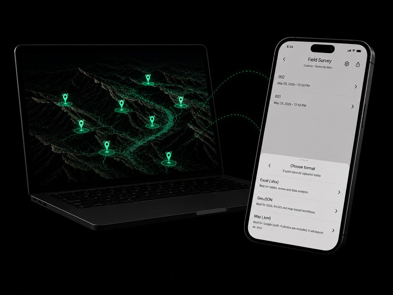
Export clean structured data to Excel, GeoJSON and KMZ.
How it works
Follow a streamlined workflow designed for fast and reliable field data collection.
01
Build forms around your workflow
02
Select and organize your workspace
03
Capture validated data instantly
04
Generate export-ready deliverables
Built for fieldwork
See how Iyari fits into different field workflows.
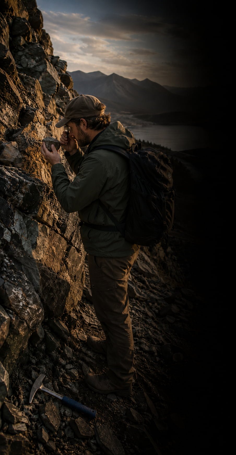
Geology
Capture outcrop observations, structural measurements, exploration samples and field notes.
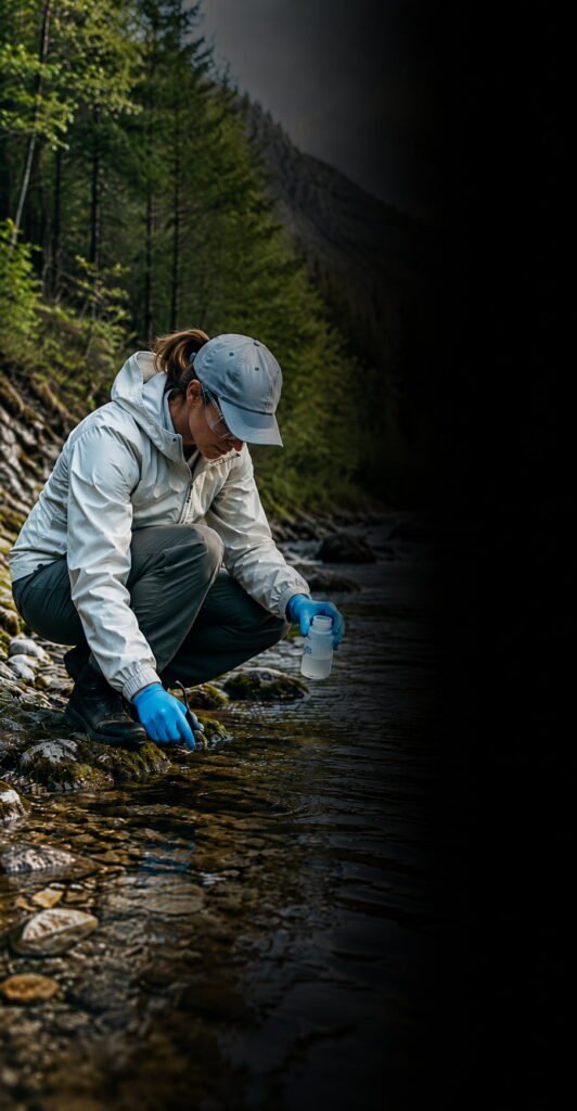
Environmental
Record monitoring observations, samples, site conditions and rehabilitation field data.
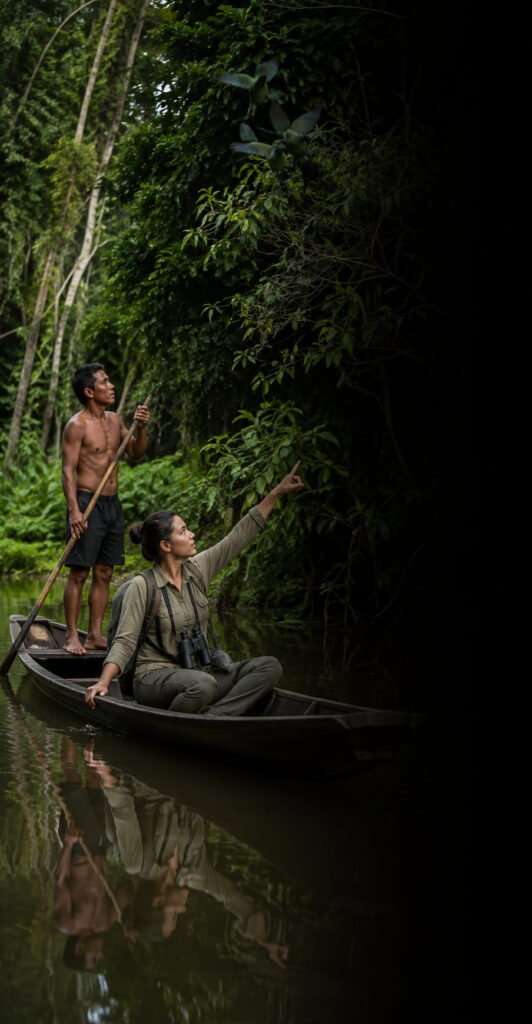
Ecology & Wildlife
Record species observations, survey points, habitat conditions and field evidence.
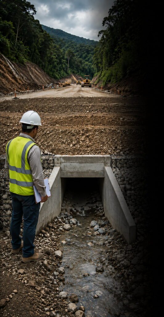
Field Inspections
Capture site conditions, defects, drainage observations and field evidence.
Start free. Upgrade when your field workflow needs more
Free
Essential tools for structured field data capture
Up to 3 forms
Up to 3 maps
Up to 50 records
Excel report
Iyari Plus
US$49 / year
Built for professional fieldwork
Up to 10 forms
Up to 10 maps
Up to 1000 records
GeoJSON & KMZ exports
Linked photo exports
Structural orientation fields
Import & export form templates
Use on up to 2 devices
Get Iyari PlusWhat happens in the field should already be ready for the office.
In practice
“
Using Iyari, rock sampling feels faster, more organized and far more reliable.
Robin T. | Exploration Geologist
“
Iyari keeps my water quality monitoring data organised and easy to follow.
Rachel J. | Environmental Consultant
Ready for the field?
Download Iyari for iOS or Android.


Powered by Rockswise