
Iyari for Field Inspections
Field data, structured from the moment you collect it.
Where Iyari fits on site

Construction Quality
Record workmanship, site conditions, defects and field observations at specific locations as construction progresses.

Roads & Drainage
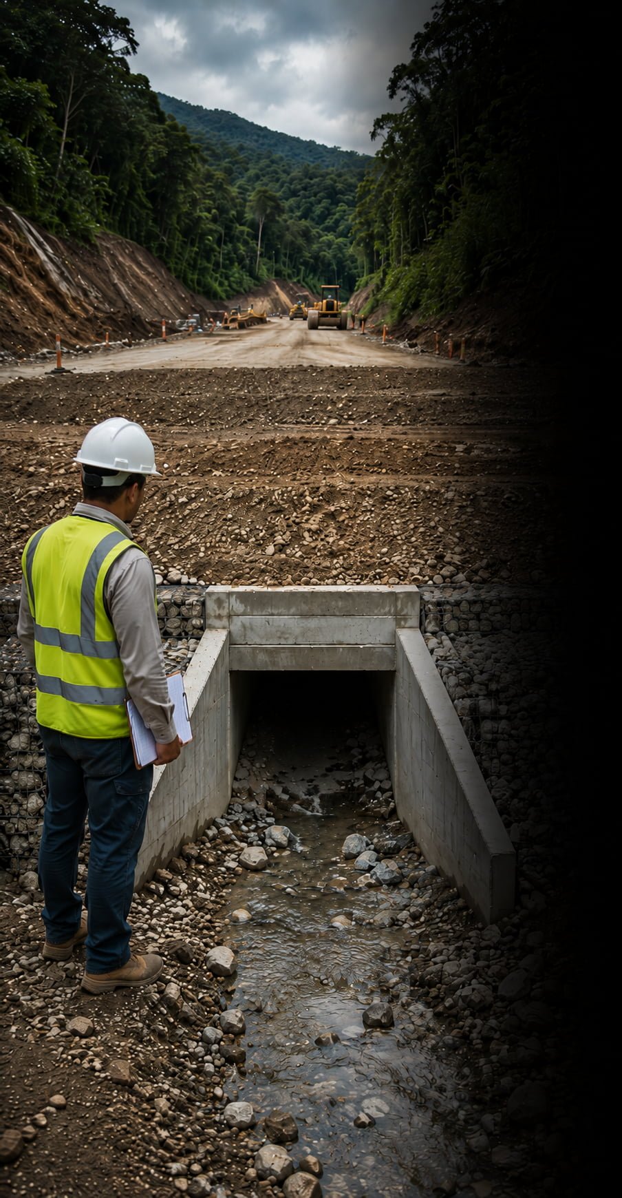
Document culverts, drainage structures, pavement, earthworks and other road elements while keeping every observation connected to its location.

Defects & Corrective Actions
Capture issue type, severity, photographic evidence, field notes and recommended actions where problems are identified.

Progress & Site Documentation
Build a georeferenced record of completed work, work in progress and changing site conditions across repeated visits.
Build your site record point by point
Every location, issue and field observation becomes a structured, georeferenced record.
•
Field observation
Record conditions, defects and evidence where they occur.
•
Georeferenced record
Keep location, attributes, photos, severity and notes together.
•
Inspection dataset
Build an organised collection of field records ready for review, reporting and follow-up.
A field workflow ready to explore
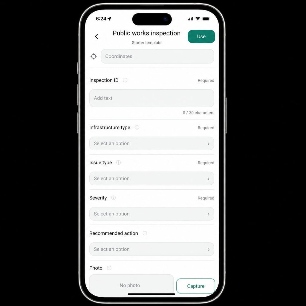
Iyari includes a Public Works Inspection starter workflow for recording infrastructure type, issue type, severity, field evidence, recommended actions, coordinates and photos.
Use it as a starting point and adapt it to the methodology of your own project.
Every site visit adds to the project record. Keep the evidence organised from the beginning.
Powered by Rockswise