
Iyari for Environmental
Environmental field data, structured from the moment you collect it.
Where Iyari fits in environmental fieldwork

Environmental Monitoring
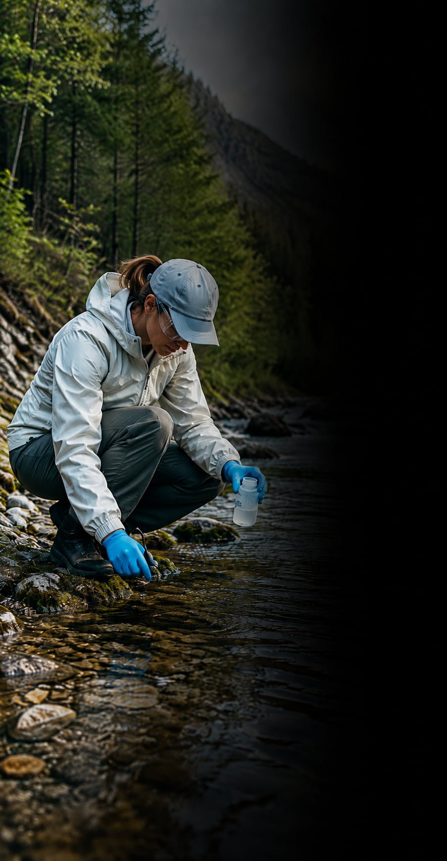
Record site conditions, field measurements, observations and photographic evidence at each monitoring location.

Water & Soil Sampling
Keep sample IDs, coordinates, field parameters, descriptions, photos and site observations connected to every sampling point.

Site Inspections & Compliance
Document environmental conditions, visible pollution, erosion, waste, discharges and other issues consistently across locations.

Rehabilitation Monitoring
Track vegetation progress, erosion, drainage, disturbances and site conditions across repeated field visits.
Build your environmental dataset site by site
Every monitoring point, sample and field observation becomes a structured, georeferenced record.
•
Field observation
Record environmental conditions and evidence at each location.
•
Georeferenced record
Keep coordinates, measurements, attributes, photos and notes together.
•
Environmental dataset
Build an organised collection of field records ready for monitoring, analysis and reporting.
An environmental workflow ready to explore
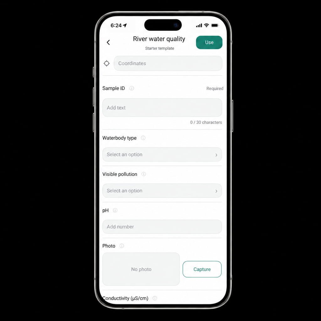
Iyari includes a starter workflow for recording waterbody type, visible pollution, pH, conductivity, sample information, coordinates and field photos.
Use it as a starting point and adapt it to the methodology of your own monitoring program.
Every monitoring point tells part of the environmental story. Keep the evidence organised from the beginning.
Powered by Rockswise