
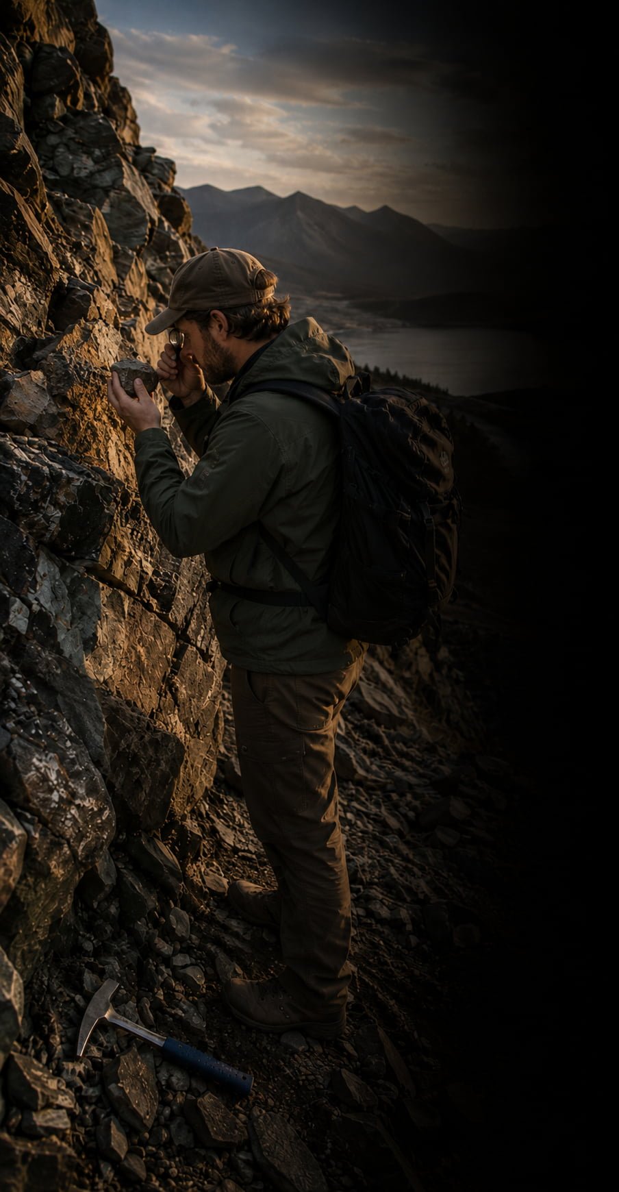
Iyari for Geology
Geological field data, structured from the moment you collect it.
Where Iyari fits in geological fieldwork

Outcrop & Field Observations
Capture lithology, alteration, mineralisation and geological observations at each field location.

Structural Measurements
Keep orientations and structural observations connected to the exact location and geological context where they were measured.

Exploration Sampling
Record rock, soil and stream-sediment samples with sample IDs, coordinates, descriptions, photos and field observations.

Geological Field Documentation
Keep photographs, locations and geological notes connected to the observation they belong to.
Build your geological dataset point by point
Every field observation becomes a structured, georeferenced record.
•
Field observation
Record the geological evidence at each point.
•
Georeferenced record
Keep coordinates, attributes, photos and notes together.
•
Geological dataset
Build an organised collection of field points ready for mapping, analysis and interpretation.
A geological workflow ready to explore
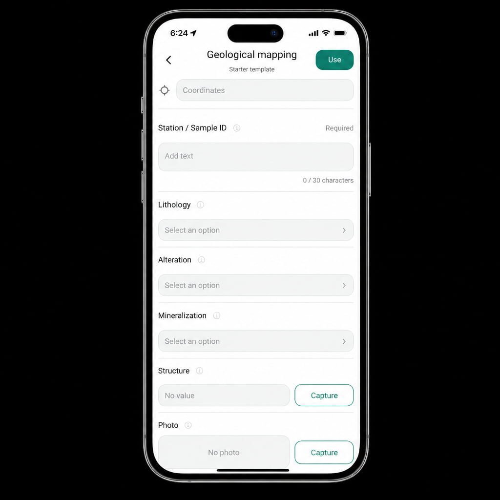
Iyari includes a starter workflow for recording lithology, alteration, mineralisation, structures and field observations.
Use it as a starting point and adapt it to the methodology of your own project.
Every field point tells part of the geological story. Keep the evidence organised from the beginning.
Powered by Rockswise